Designers and operators of Guinea's national energy data reference system
Verifiable energy data, from feasibility to operations
Platforms in service, from data to software
A national reference system, a reference dataset archived with a DOI, a map catalog and sizing software: we design and operate energy data platforms. All of them run on Kuma Data Core, our data engine, and are online today.
Talk to our team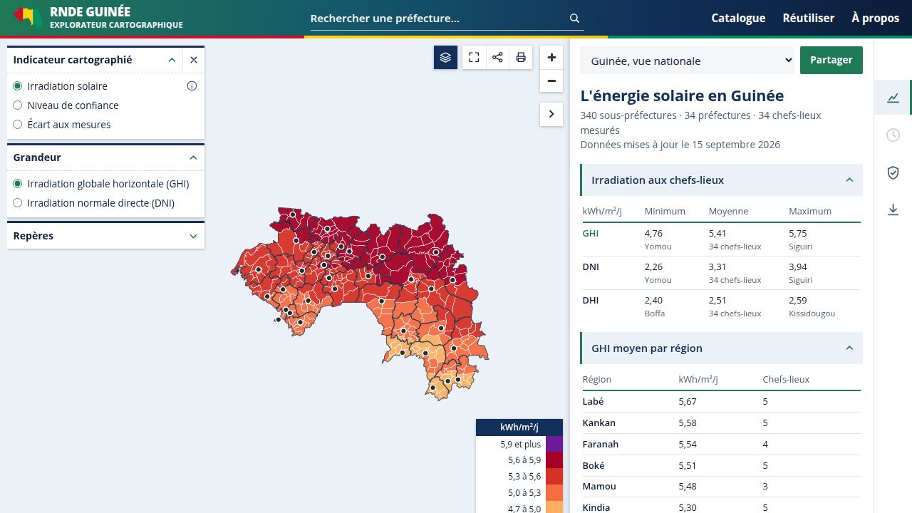
Guinea's National Energy Data Reference System (RNDE)
A public energy data platform, designed and operated by Kuma Science.
rnde.kumascience.com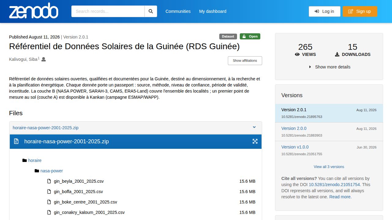
Guinea Solar Data Reference, archived with a DOI
Released on Zenodo in dated versions, under CC BY 4.0.
DOI 10.5281/zenodo.21051754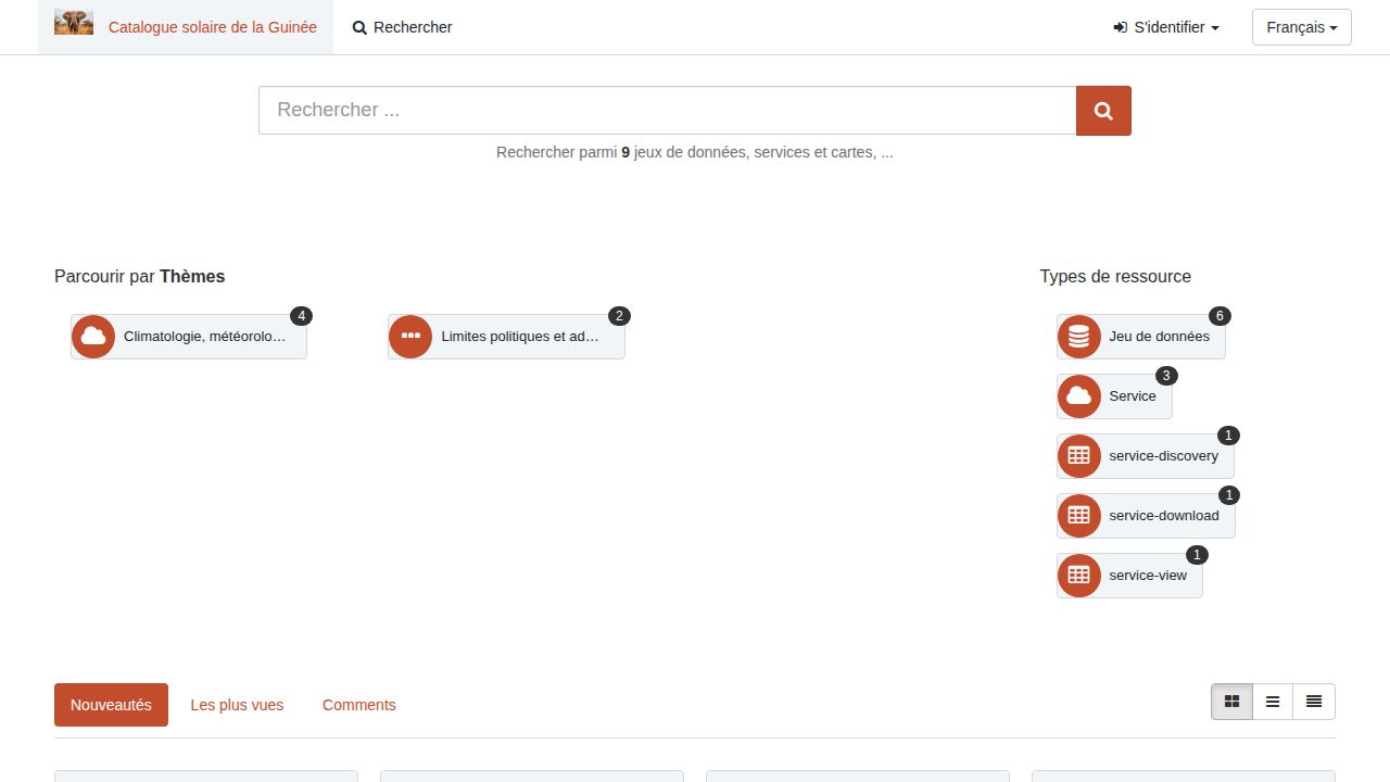
Metadata catalogue and OGC map services
The GeoNetwork catalogue and the WMS and WFS services that feed the RNDE.
catalogue.kumascience.com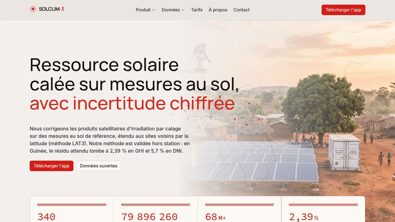
SolClim-3, photovoltaic sizing software
It designs a mini-grid or a photovoltaic system from calibrated data, down to the report delivered to the client.
solclim3.kumascience.comVerifiable data, served by API with its passport
Every measurement comes with its source, collection method, unit, confidence grade and editorial status. Editions are dated and archived with a DOI, so a figure cited in a study can be found again exactly.
Explore the APIapi.kumascience.com/v1/series/gin_kankan_ghi_nasa_power_2021_2025?from=2024-01&to=2024-12 { "code": "gin_kankan_ghi_nasa_power_2021_2025", "libelle": "GHI journalier Kankan 2021-2025 (NASA POWER)", "grandeur_unit": "kWh/m²/jour", "source_label": "NASA POWER — Prediction Of Worldwide Energy Resources : Solar and Meteorological Data Archive", "source_url": "https://power.larc.nasa.gov/", "methode_collecte": "modele_satellitaire", "periode_debut": "2021-01-01", "periode_fin": "2025-12-31", "mesures": [ { "instant_mesure": "2024-01-01", "valeur": 5.989, "niveau_effectif": "B", "statut": "brut" }, … ]}Follow our work and explore our data
News
-
 Read on ager.gov.gn
L’AGER intensifie les préparatifs de la Table ronde sur le financement du Plan National d’Électrification Rurale
En prélude à la Table ronde sur le financement du Plan National d’Électrification Rurale (PNER), prévue le 26 novembre 2025 à l'hôtel Noom de Conakry, l'Agence Guinéenne d'Électrification Rurale (AGER) a organisé une importante séance de travail réunissant des partenaires internationaux et des acteurs nationaux du secteur de l'énergie. Cette rencontre stratégique s'inscrit dans les préparatifs de cet événement majeur, organisé par le Ministère de l'Énergie en collaboration avec le Programme des Nations Unies pour le Développement (PNUD).
-
 Read on africa-news-agency.com
Solaire : L’Afrique bat un nouveau record en 2025 avec 4,5 GW installés
L’énergie solaire poursuit sa progression rapide en Afrique. En 2025, le continent a installé environ 4,5 gigawatts (GW) de nouvelles capacités photovoltaïques, contre 2,9 GW en 2024, soit une hausse de 54 %, selon un rapport du Global Solar Council. Un niveau inédit qui confirme l’accélération de la transition énergétique africaine, dans un contexte de forte croissance de la demande en électricité.
-
 Read on mosaiqueguinee.com
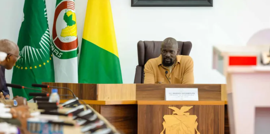
Décret: le Chef de l’Etat crée l’Agence de la Maîtrise de l’Énergie (AME)
Le 15 août 2026 restera une date charnière dans l’histoire énergétique de la Guinée. Ce jour-là, le Président de la République, Son Excellence Mamadi Doumbouya, a signé et promulgué le décret n°0239 PRG SGG, fixant les attributions, l’organisation et le fonctionnement de l’Agence de la Maîtrise de l’Énergie (AME).
Datasets
-
340 sub-prefectures
Open the datasetCalibrated solar resource for the 340 sub-prefectures
GHI and DNI for every sub-prefecture, corrected against ground measurements, with P50 and P90 values and a confidence level.
-
34 locations, 1981 to 2025
Open the datasetDaily solar radiation and weather since 1981
Radiation, temperature, humidity, wind and rainfall for the 34 prefecture seats and Kaloum, from NASA POWER.
-
Kankan station
Open the datasetGround measurements of GHI and DNI in Kankan
The only ground measurement in the repository: 730 complete days recorded between October 2021 and October 2023 during the ESMAP / WAPP campaign.
Maps and explorers
-
 Open the tool
Map explorer
Every covered locality on a map of Guinea. One click opens its series, to browse or download.
-
 Open the tool
Uncertainty atlas
The gap between sources, measured locality by locality, and the sub-prefectures where the calibration is still weak.
-
 Open the tool
Python workbench
Python in the browser, nothing to install. The selected series lands in a pandas table, ready for your calculations and charts.
